|
It’s beginning to look a lot like rain this Christmas.
As wet weather returns to the Bay Area and persists throughout the week, there’s a 60% chance the pattern will last through Dec. 25, and a slightly lower chance it will linger through the end of the month, National Weather Service meteorologists wrote in their daily forecast discussion on Tuesday.
So, if you’re getting grandpa a drone this year, or some other flying gadget or gizmo to fly around the tree, see if you can find a waterproof one.
“Our dry spell looks like it is ending,” said Rachel Kennedy, a meteorologist with the weather service’s Bay Area office.
Meteorologists said they expect two light systems from the Gulf of Alaska this week to bring much-needed rain across the region starting Tuesday. The North Bay could get the most rainfall, with up to a quarter of an inch of rain, during the first storm. More showers arrive late Thursday and could drop up to an inch and a half in the North Bay and up to half an inch for the rest of the region.
The frigid temperatures Bay Area residents have experienced over the past week are forecast to warm up to the mid- to upper 50s and low 60s across most of the region as the storms roll in.
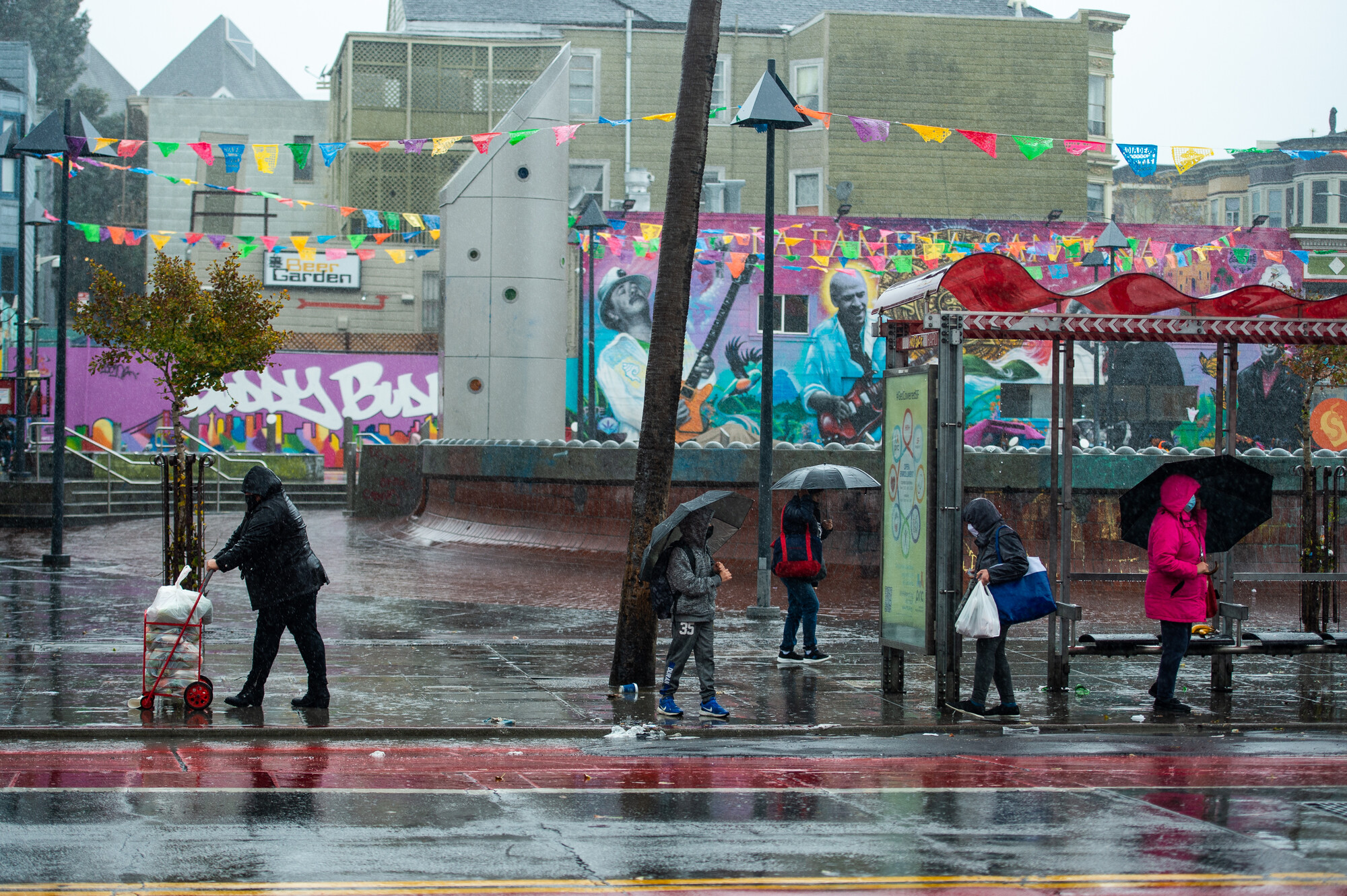 People wait at a Muni stop on Mission Street in the rain on Dec. 13, 2021. (Beth LaBerge/KQED) People wait at a Muni stop on Mission Street in the rain on Dec. 13, 2021. (Beth LaBerge/KQED)
A third system, potentially a moderate-to-strong atmospheric river fueled by tropical moisture, could arrive from the north on Sunday. These weather models are beginning to align, Kennedy said, suggesting the atmospheric river could last through the holidays.
“We’re looking at a moderate to strong atmospheric river next week, and it could be impactful to holiday travel like flight delays and slick roads,” Kennedy said.
The NWS’s Climate Prediction Center expects a high risk, greater than 60% chance of heavy rain between Dec. 23 and 25, for all of coastal California, with the possibility of flooding. The center also predicts a high risk of heavy snow across the Sierra Nevada next Tuesday through Friday.
Sara Purdue, a meteorologist with the weather service’s Sacramento office, said the storm, as of now, looks like it will be “fairly warm” and said heavier snow tends to fall at higher elevations during atmospheric rivers, and in lesser amounts than what you might think of in a typical winter storm.
Forecasters suggest Californians prepare for the rain by cleaning out gutters and securing outdoor items, such as Christmas inflatables.
“I would be prepared to get that done before Thursday,” Kennedy said. “The earlier you prepare, the better time you’re going to have when we get that potentially impactful holiday travel, as the stronger system moves in.” |


.png)
 More
More
 Religion & Spirituality
 Education
 Arts and Design
 Health
 Fashion & Beauty
 Government & Organizations
 Kids & family
 Music
Music News & Politics
 Science & Medicine
 Society & Culture
 Sports & Recreation
 TV & Film
 Technology
 Philosophy
 Storytelling
 Horror and Paranomal
 True Crime
 Leisure
 Travel
 Fiction
 Crypto
 Marketing
 History